This page provides an overview of the history of the airfield itself, from its initial construction through to what remains today.
Explore the Defford Airfield
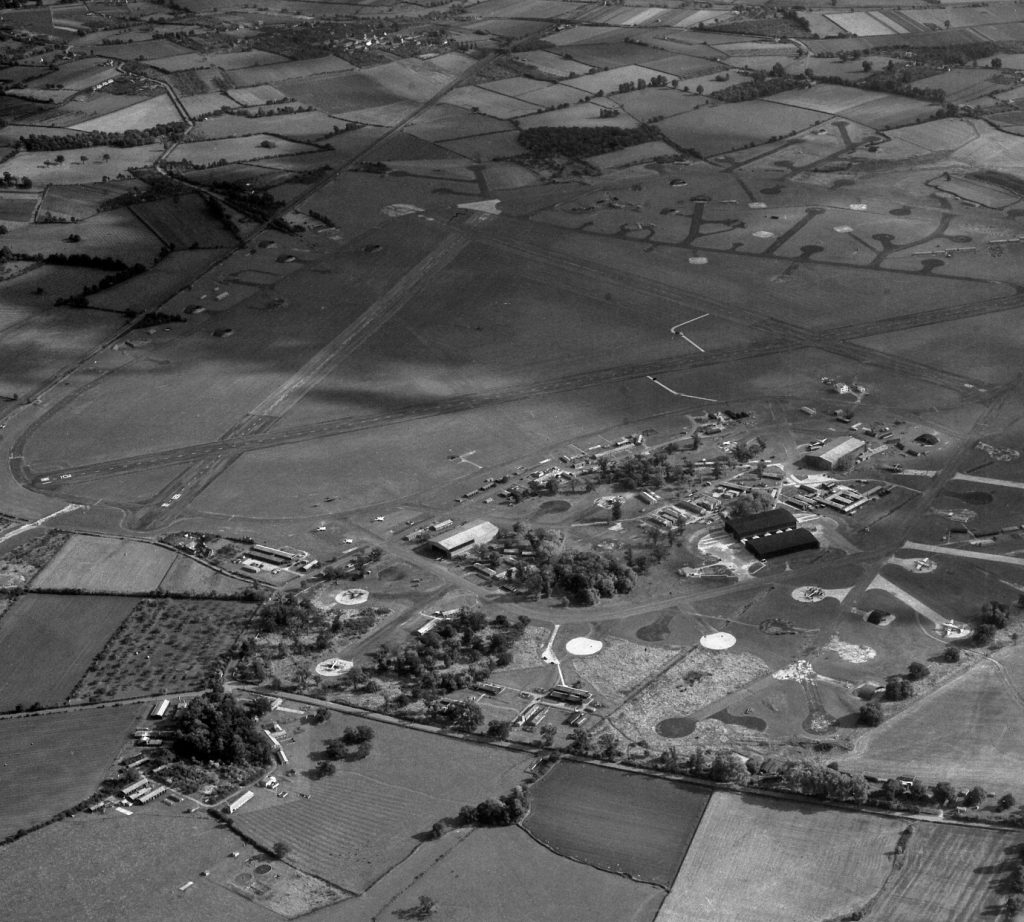
The map below shows the extent of the airfield at its height. The many buildings included accommodation blocks, sick quarters, hangars, workshops, offices, the control tower, and so on.
A few buildings have been highlighted on the map. Click on the pins or the titles for information.
Sick Quarters / RAF Museum
Back
Sick Quarters / RAF Museum
Station Sick Quarters 1950
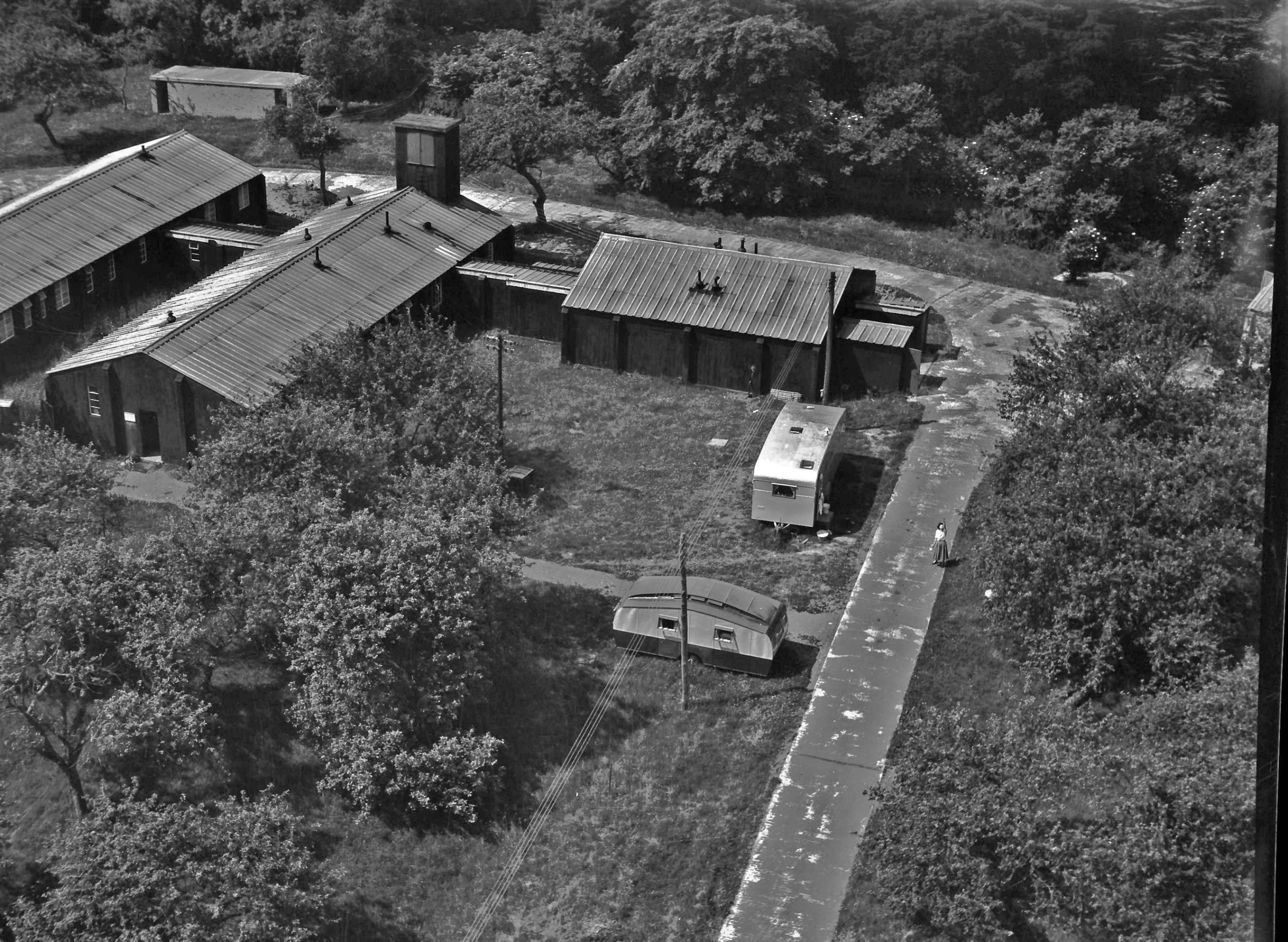
The Sick Quarters comprised a main ward block, inspection rooms, dental surgery and gas decontamination unit. These buildings now form the NT Croome reception, café, and the RAF Defford Museum.
Control Tower
Back
Control Tower
RAF Defford Control Tower
Controllers in the tower direct aircraft on the ground and in the air (and vehicles / staff on the ground)
NAAFI
Back
NAAFI
The Navy, Army and Air Force Institute (NAAFI) was established in 1920 to run recreational establishments (canteens in particular) and sell goods to service personnel and their families.
No. 7 & 8 Hangars
Back
No. 7 & 8 Hangars
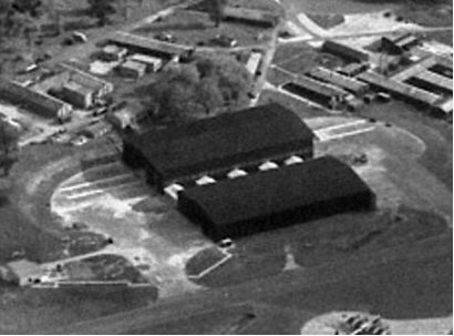
Used for maintenance. Built in 1950
No. 1 Hangar
Back
No. 1 Hangar
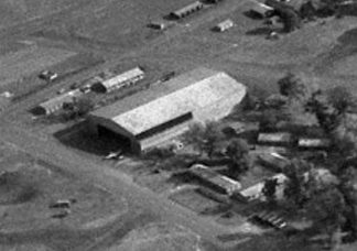
Used for maintenance and installations
No. 2 Hangar
Back
No. 2 Hangar
Used for installations
Blister Hangars
Back
Blister Hangars
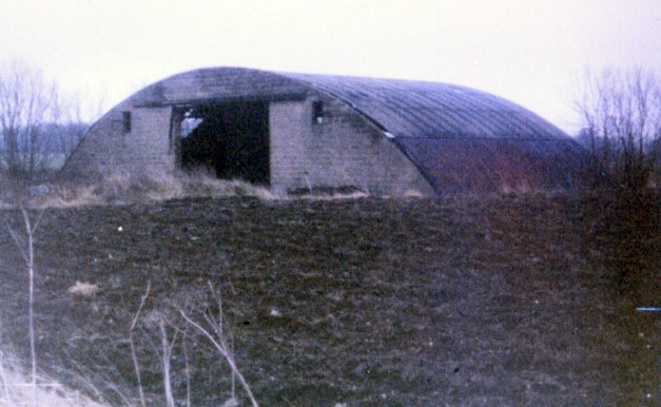
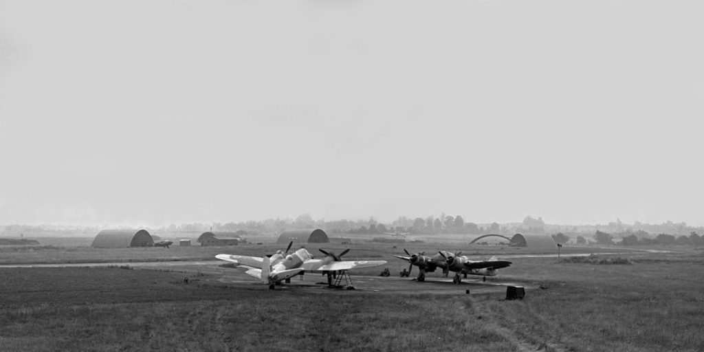
Blister hangars are a type of aircraft hangar with a curved roof (hence the name). They were made with wooden or steel ribs with steel roofs. If needs be they could be built without a concrete base, being anchored to the ground with metal stakes. They were originally designed by the architect Graham Dawbarn, and patented in 1939 by Miskin and Sons.
[The photo is an example, not Defford]
Flight Offices
Back
Flight Offices
Where flight operations would have been planned
The ‘Wrennery’
Back
The ‘Wrennery’
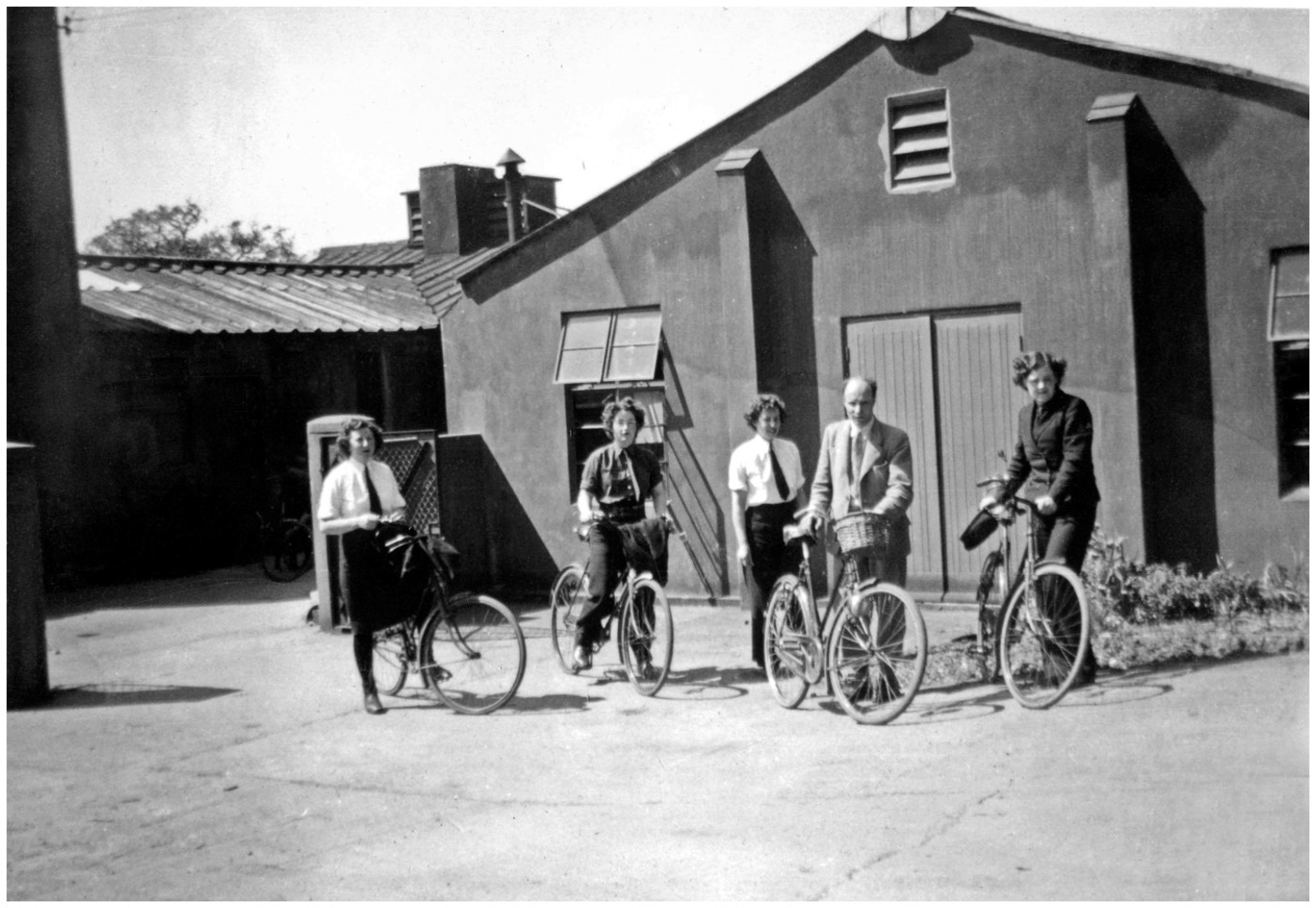
Airborne radar was also important to the Royal Navy, so a contingent of Naval service personnel were stationed at Defford including Wrens who were housed in the ‘Wrennery’
Building The Airfield
By the outbreak of the Second World War in 1939 Croome Court had been in decline for some years. The war soon impacted on the Estate when the 10th Earl of Coventry was killed in action serving with the 7th Battalion, Worcestershire Regiment during the retreat to Dunkirk. In 1940, part of the park was requisitioned by the Air Ministry to build RAF Defford airfield. The Court itself was not immediately affected, but was earmarked to accommodate the recently exiled Queen of The Netherlands.
Defford airfield under construction
RAF Defford was a Class A airfield. This was a standard layout defined by the British Air Ministry Directorate General of Works. The name is derived from the A-shape layout of the runways. Class A airfields were intended for use by heavy bombers and transport aircraft. The main runway was 6,000 feet (1,829metres) in length, with the other two runways being 4,200 feet (1,280 metres). The runways were constructed from concrete.
The Changing Role
After a short period as a Bomber Command operational training unit, the airfield was taken over in May 1942 by the Telecommunications Flying Unit. At the height of the war, over 2500 servicemen and women were stationed in buildings in and around the Park. Over 100 aircraft were stationed at the airfield at any one time, with examples of practically every type of British military aircraft and also some American aircraft. The new airborne radar systems needed to be tested with different types of aircraft.
The facilities at the airfield changed significantly during its early life. Initially many personnel were billeted in tents. For a period they even had to be bussed offsite to take showers! But over time more and more buildings were added, accommodation blocks, mess halls, large hangars used as installation workshops, and so on.
Defford Airfield was decommissioned in 1957. The new V-bombers were being introduced into the RAF. These were larger and heavier than previous aircraft, needing longer and stronger runways. The main runway at Defford was bounded by a railway at one end and a slope at the other, so could not be extended. Most of the buildings were demolished, the taxiways and dispersal points removed.
Whilst flying from Defford ceased, the airfield was still used for many years fulfilling different functions. It continued to be used as a base for radar testing, it was one of the UK’s early radio astronomy observatories, and it became a military satellite communications hub.
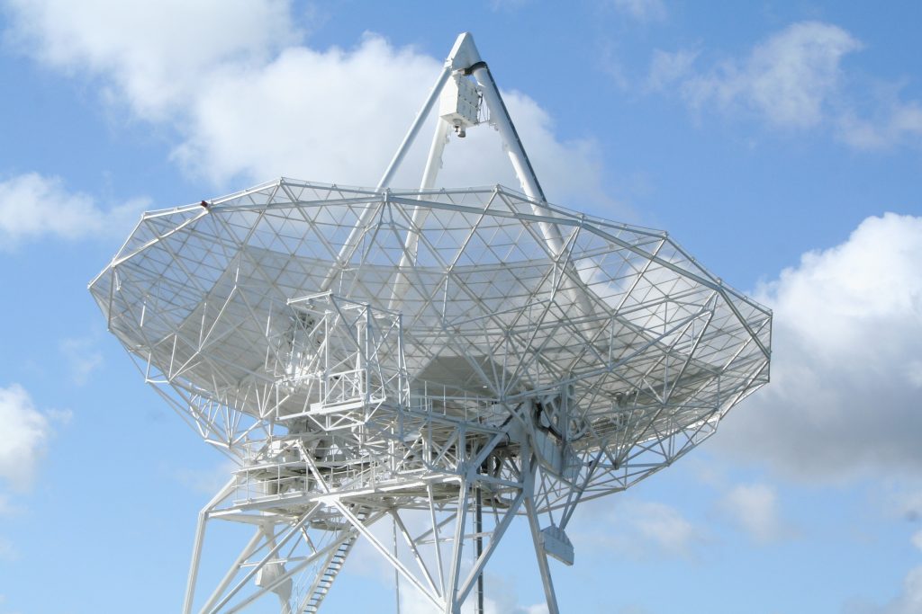
Two radio telescopes were commissioned in 1962. These were used for the study of quasars, meteorological research, and tracking Russian and American satellites.
[Photo courtesy of Martin Swift – 2006]
The following two videos show the construction of the radio telescopes / antennas. These formed an interferometer. They were built on railway tracks so that the distance between the two antennas could be varied. This allowed astronomers to study objects of different types (different spacial scales) from stars to gas clouds.
[Video courtesy of Chris Carter – Filmed by his father R.H.A. ‘Nick’ Carter][Video courtesy of Chris Carter]
In 1980 the MOD decided to consolidate its various satellite communications establishments and move them to Malvern. In a similar way to what had happened in 1942 a nearby location was required for equipment and the old Defford airfield was the ideal candidate. In the following years several satellite dishes, or ‘terminals’, were erected (see photo), many protected by the “golf balls” we have come to associated with such technology.
Qinetiq Satcoms Facility 2005Satellite Communications Centre [Photo courtesy of Christopher Coopey]
The Defford facility played a significant part in the development of Skynet. Defford was the fall-back station for RAF Oakhanger and had a major role in the Falklands, Bosnia and Gulf wars. The Defford facility was eventually closed in 2005.
The remnants of the main runways still exist, but these are on private property. They can be seen from vantage points on Croome Park. The only buildings that remain are the Sick Quarters, Ambulance Garage, Sergeants and Orderlies Quarters and Air Raid shelter on NT Croome property. Two hangars remain (redeveloped) which are now used for storage by a local coach company.
The other notable existing item is the Defford radio telescope, which is still in operation and linked to Jodrell Bank as part of the e-MERLIN network.
**** NEWS ****
It has recently been announced that UK Research and Innovation (UKRI) will terminate funding for Jodrell Bank and the e-MERLIN network by March 2028. This will mean that these facilities cease to be operational. The government is being urged to reverse this decision. People are asked to write to their local MPs to voice their opposition. Manchester University have setup a website for donations to help secure the future of Jodrell Bank and e-MERLIN, campaign website. More information can be found in this BBC News article.